Mapping Unsheltered Homelessness in Indianapolis

PPI researchers analyze proximity of unsheltered individuals to both natural and social resources

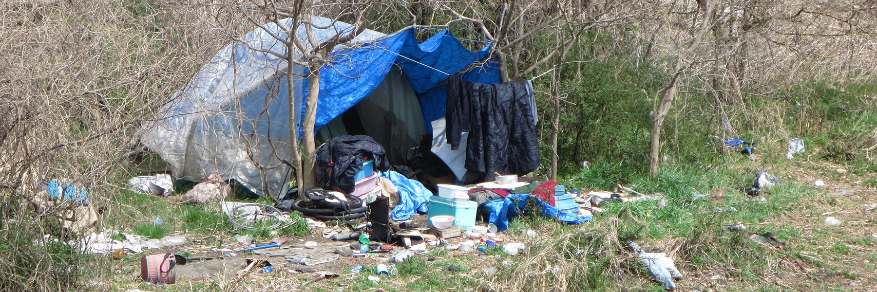
Each year, the Public Policy Institute partners with the Coalition for Homelessness Intervention and Prevention (CHIP) in order to conduct a count of the homeless population in Indianapolis. The January 2017 count identified 1,783 homless individuals in Marion County. 

Findings from the 2017 analysis indicate the majority of unsheltered people were located in the downtown area, in close proximity to parks and bus routes, but not always close to shelters. Geospatial analysis of unsheltered individuals is designed to help homelessness service providers identify service gaps throughout the county.

Unsheltered homelessness in Indianapolis by the numbers

124Number of unsheltered individuals in Marion County in January 2017  

88Number of unsheltered individuals within 1.5 miles of Monument Circle  

54Number of unsheltered individuals in the Downtown neighborhood; 19 were located in Christian Park; 16 in Fountain Square  

83.1%Number of unsheltered individuals within 1/4 mile of a bus route  

56.4%Number of unsheltered individuals within 1/4 mile of a park  

33%Number of unsheltered individuals who were more than one mile away from a shelter or other service center